
Photographer: Malcolm Storey
Online Resources

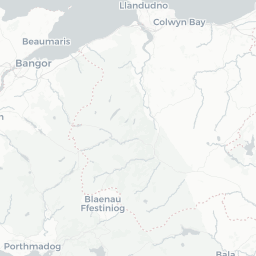
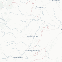
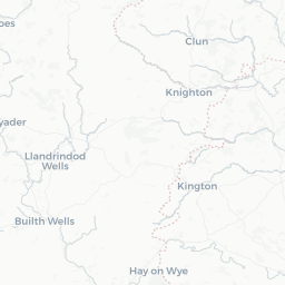
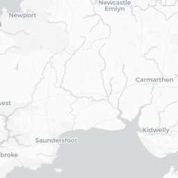
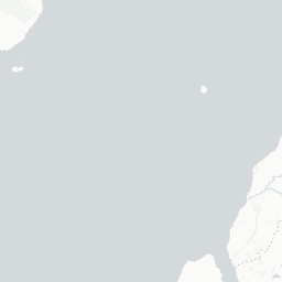
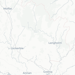
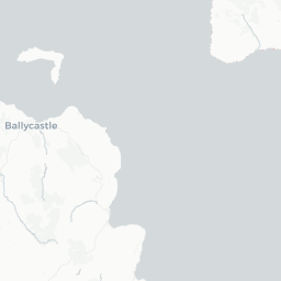
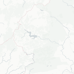
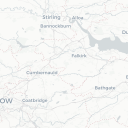
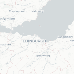
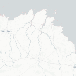
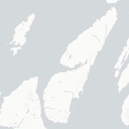
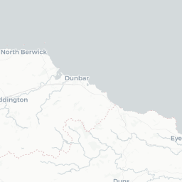
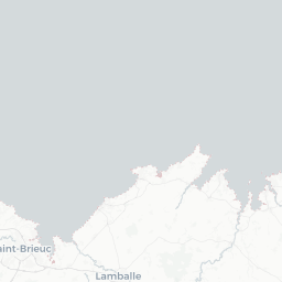
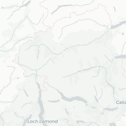
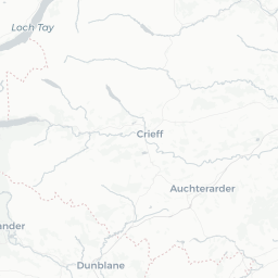
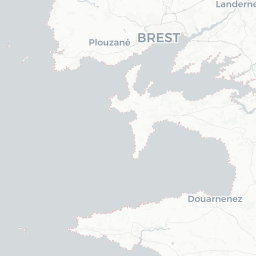
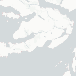
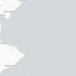
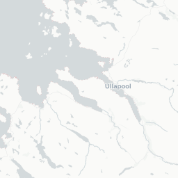
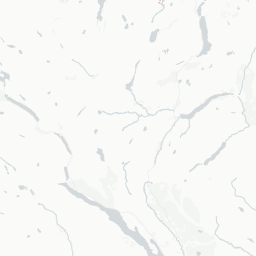
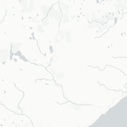
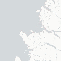
1,319 records (1,319 in total)
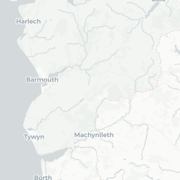
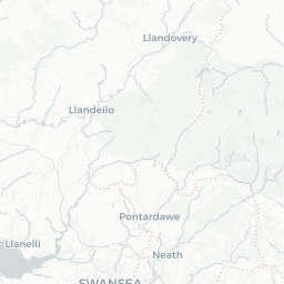
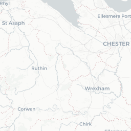
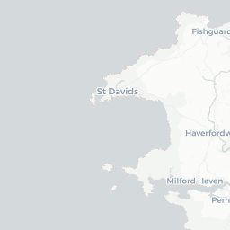
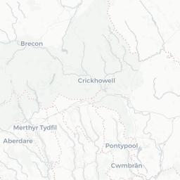
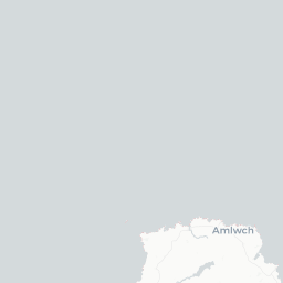
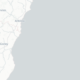
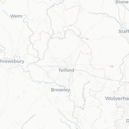
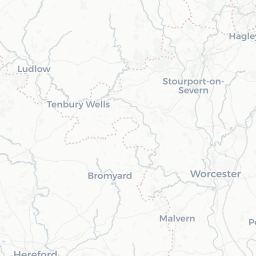
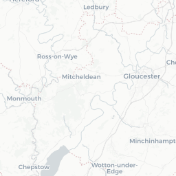
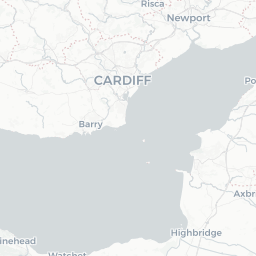
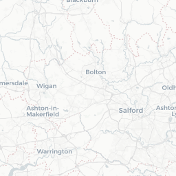
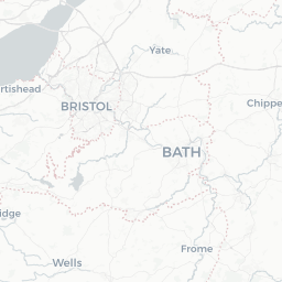
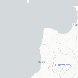
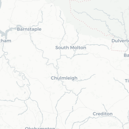
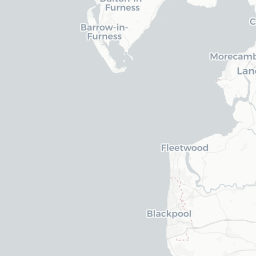
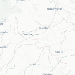
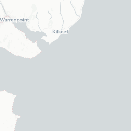
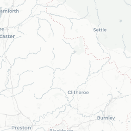
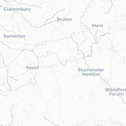
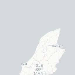
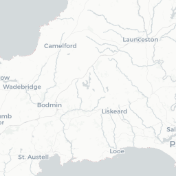
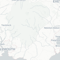
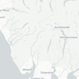
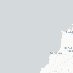
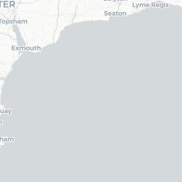
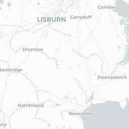
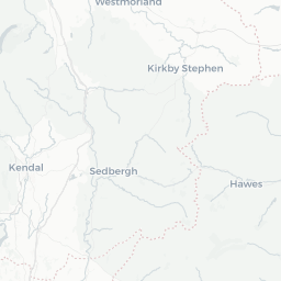
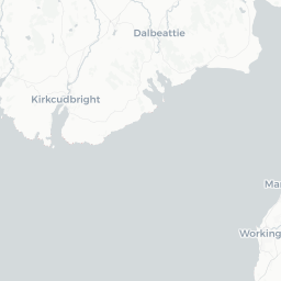
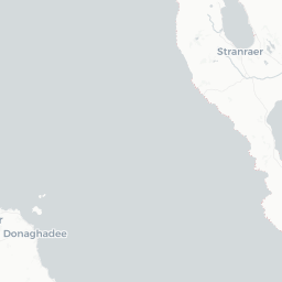
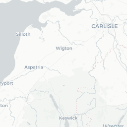
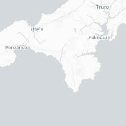
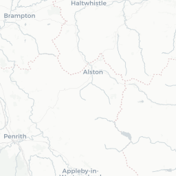
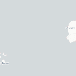
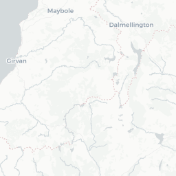
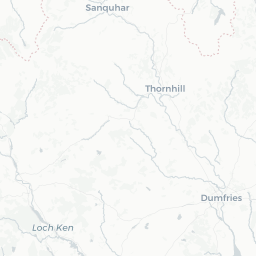
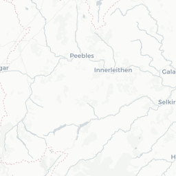
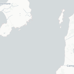
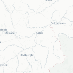
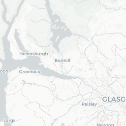
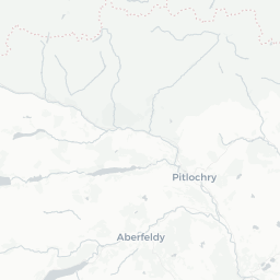
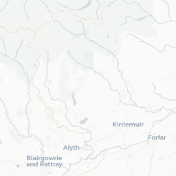
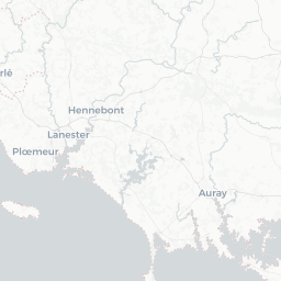
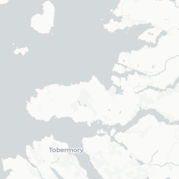
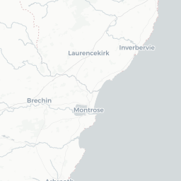
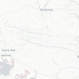
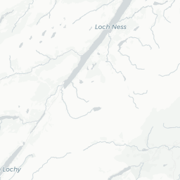
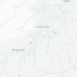
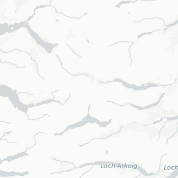
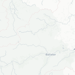
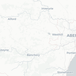
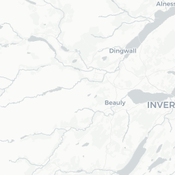
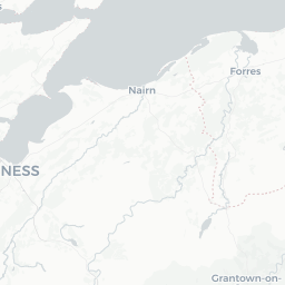
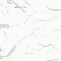
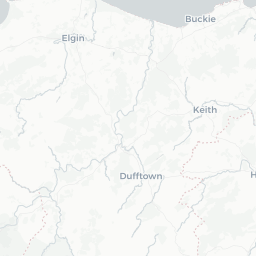
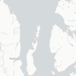
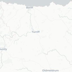
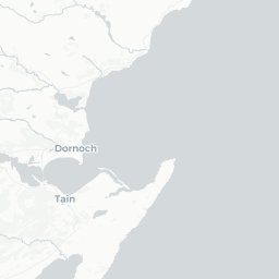
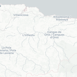
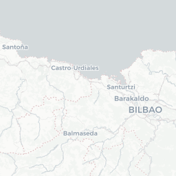
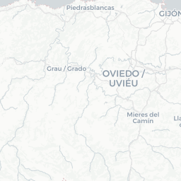
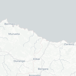
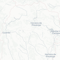
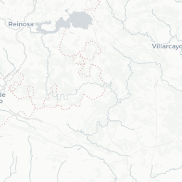
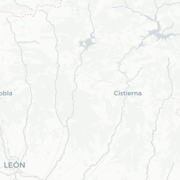
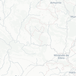
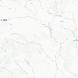
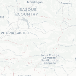
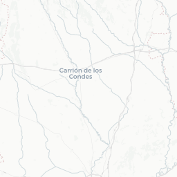
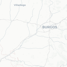
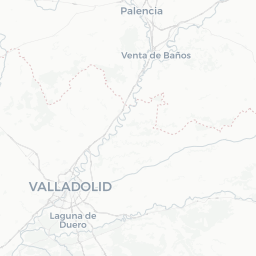
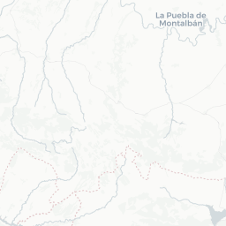
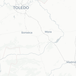
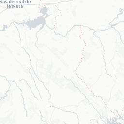
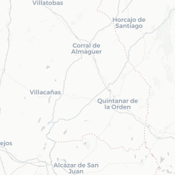
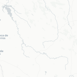
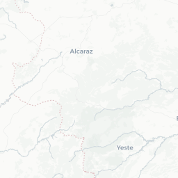
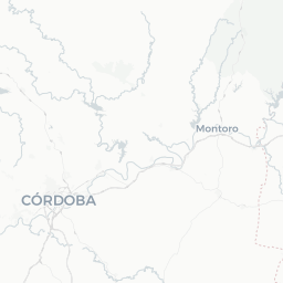
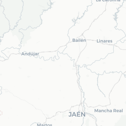
This map contains both point- and grid-based occurrences at different resolutions


Datasets
12 datasets have provided data to the NBN Atlas Wales for this subspecies.
Browse the list of datasets and find organisations you can join if you are interested in participating in a survey for species like Gymnocolea inflata subsp. inflata
Types
Specimens
Images


Misidentified

Names and sources
| Accepted Name | Source |
|---|---|
| Gymnocolea inflata subsp. inflata |
|
| Synonym | Source |
|---|---|
| Gymnocolea inflata synonym s.str. |
|
| Gymnocolea inflata synonym s.str. |
|
| Gymnocolea inflata subsp. heterostipa synonym |
|
| Gymnocolea inflata var. heterostipa synonym |
|
| Gymnocolea inflata var. heterostipa synonym |
|
| Gymnocolea inflata var. inflata synonym |
|
| Common Name | Source |
|---|---|
| Inflated Notchwort |
|
Classification
- unranked
- Biota
- domain
- Eukaryota
- kingdom
- Plantae
- subkingdom
- Viridiplantae
- phylum
- Marchantiophyta
- class
- Jungermanniopsida
- order
- Jungermanniales
- family
- Anastrophyllaceae
- genus
- Gymnocolea
- species
- Gymnocolea inflata
- subspecies
- Gymnocolea inflata subsp. inflata
View list of all occurrence records for this taxon
(1,319 records)
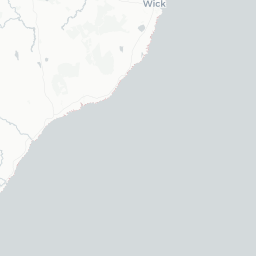
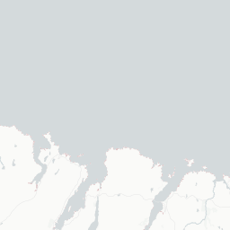
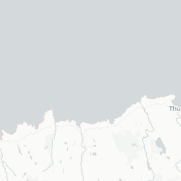
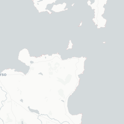
View map of all occurrence records for this taxon
(1,319 records)
Charts showing breakdown of occurrence records (1,319 records)
References for this taxon found in the Biodiversity Heritage Library
References for this taxon found in the Conservation Evidence Library
Genbank
| Data sets | Licence | Records |
|---|